
Book Title: The Flexible GIS Workbook for ArcGIS Pro
Book Description: This workbook introduces and scaffolds key GIS concepts without relying on canned datasets and projects. Lessons use a problem-solving framework based on the Seven Stages of Action model, connecting software tasks with concepts from the open textbook Essentials of Geographic Information Systems by Jonathan Campbell and Michael Shin (2011). NOTE: Chapter 1 is currently available; Chapters 2 and 3 will be published in 2021 and Chapter 4 is expected to be published in 2022.
Contents
Book Information
Book Description
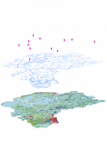
This workbook introduces and scaffolds key GIS concepts without relying on canned datasets and projects. The intent is to make introductory GIS lessons more relevant to students and emphasize skill transfer. Datasets for use with the workbook lessons may be curated by a course instructor or by the individual learner. Lessons use a problem-solving framework based on the Seven Stages of Action model, derived from usability studies. They connect the software tasks with concepts from the open textbook Essentials of Geographic Information Systems by Jonathan Campbell and Michael Shin (2011). As an Open Educational Resource, this workbook is available for free to all learners, reducing financial barriers that result in educational inequities.
License

The Flexible GIS Workbook for ArcGIS Pro Copyright © 2020 by Carl M Sack is licensed under a Creative Commons Attribution-NonCommercial 4.0 International License, except where otherwise noted.
Subject
Geographical information systems, geodata and remote sensing
Metadata
-
The Flexible GIS Workbook for ArcGIS Pro Copyright © 2020 by Carl M Sack is licensed under a Creative Commons Attribution-NonCommercial 4.0 International License, except where otherwise noted.
Attribution for ArcGIS Pro and ArcGIS Online screenshots: Content is the intellectual property of Esri and is used herein with permission. Copyright © 2020 Esri and its licensors. All rights reserved.
The “Seven Stages of Action” graphic is modified and used with permission from Roth, RE (2012). “Cartographic Interaction Primitives: Framework and Synthesis.” The Cartographic Journal 49(4): 376-395. DOI: 10.1179/1743277412Y.0000000019.